


Visible smoke and fire part of planned hazard reduction activity
FORT McMURRAY, AB. — You may start to see smoke rising or fires burning in the brush around town.
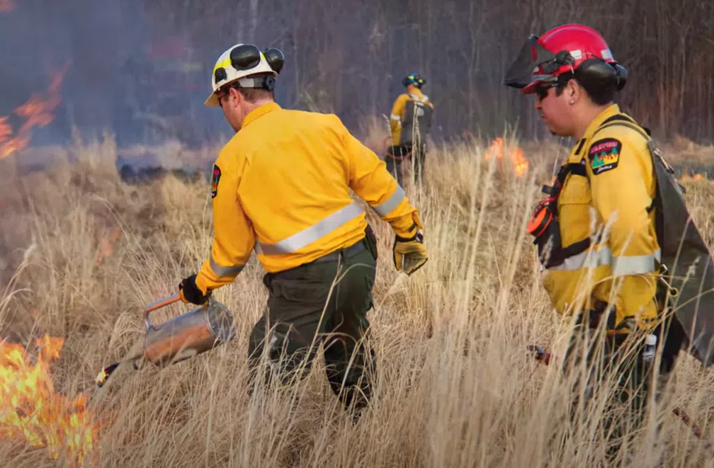
Crews with Alberta Wildfire and Regional Emergency Services are beginning their annual spring hazard reduction burns this week across several areas of the Regional Municipality of Wood Buffalo (RMWB).
The work is part of an expanded burn program designed to reduce the wildfire risk by removing dry leaves, grasses, and other surface fuels that accumulate over the winter months.
Municipal officials say there’s no need for alarm. The burns are carefully supervised by trained wildfire crews, and every effort will be made to minimize smoke and other impacts on nearby residents. Still, people living close to planned burn sites are being advised to keep their windows closed.
“Controlled burns play an important role in making our community more fire resistant,” the RMWB said in a statement. “They are a key part of how we reduce the risk of large-scale wildfires.”
Crews will be working throughout April, with some additional burning in the Urban Service Area of Fort McMurray possible into May, depending on weather and ground conditions. Helicopters may also be used to support the work in more remote locations.
Burn areas will be clearly marked with signage, and the municipality is asking the public to stay away from any site where burning is underway to allow crews to work safely.
Targeted burn locations
In Fort McMurray’s west end, large-scale burns are planned along Tower Road, including a 25-hectare area north of Tower Road toward Parsons Creek and a 33-hectare area south toward the Athabasca River. A smaller, 7-hectare strip is also targeted near North Parsons Gateway.
Other planned sites include:
- Abasand: 15-hectare section west of the neighbourhood, between the Athabasca and Horse rivers.
- Saprae Creek: 25-hectare area running north to the Clearwater River.
- Gregoire Lake Regional Area: Two sites near Amoco Road totaling just over 8 hectares.
- Fort Chipewyan: Three waterfront zones east and west of Big Dock, totaling nearly 6 hectares.
- Fort Smith – Fort Fitzgerald area: Multiple locations covering roughly 16 hectares.
Officials note that final timing and exact areas of the burns may shift depending on local conditions. Residents are encouraged to monitor updates through the Alberta Wildfire app or contact Pulse at 780-743-7000 for information about burns in the Urban Service Area.
Comments